Here is the update for the Ten-day Weather Outlook.
Model projections are indicating an intensifying ENSO (Warm Event) in the eastern Pacific through the autumn of 2015. This is alarming as it could spell high variability in the rainy season rainfall pattern for Belize, similar to 1997.
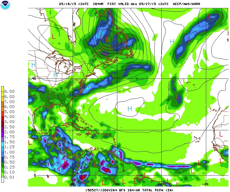
The GFS-mnsprd and GFS Climate Model Outlooks initiated at noon on Friday, May 15, 2015
for the western Caribbean and Belize were favoring the seasonal dry conditions to persist for the
next eight to nine days.
Both models resolve a disturbed area of moisture and instability (low pressure) to move off the
coast of Panama and Costa Rica after the next 48 to 72 hours. This instability center will
intensify and increase in coverage as it drifts NNE towards eastern Jamaica. By the weekend of
23-24 May, this feature will weaken, but the broad area of moisture and instability will drift
westwards towards the coast of Belize. The instability will reach Belize by late 24 May, resulting
in moderate to heavy outbreaks of showers especially over the northern half of the country at
first; then spreading over the rest of the country by 25 May. This could mark the start of the rains as the models have the instability and a low pressure system persisting over the region for
several days.
Click here for the full report!